Lewisburg, PA — The City of Shamokin, in partnership with SEDA–Council of Governments (SEDA-COG), has successfully resolved its appeal of FEMA’s preliminary Flood Insurance Rate Maps. This achievement ensures more accurate flood zone designations and delivers significant financial relief for residents and businesses, helping reduce uncertainty for homeowners and encouraging future reinvestment downtown.
FEMA’s preliminary maps, released in 2021, expanded areas shown as high-risk compared with the prior maps. The City of Shamokin immediately brought these concerns to the attention of SEDA-COG, recognizing the potential financial impact on residents and local redevelopment.
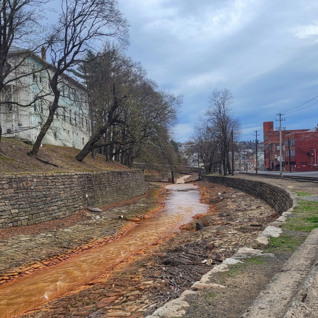
Working together, the City and SEDA-COG coordinated with the Pennsylvania Department of Community and Economic Development to secure Act 47 Implementation funding for an independent Hydrology & Hydraulics study of the Shamokin Creek basin, completed by a qualified engineering consultant.
The 2021 preliminary maps would have expanded high-risk flood zones across the City, requiring many property owners to purchase flood insurance for the first time and potentially complicating property sales, permitting, and redevelopment.
SEDA-COG prepared and submitted the City’s technical appeal to FEMA on Feb. 10, 2023. On Sept. 30, 2025, FEMA issued revised preliminary maps for Shamokin that closely align with the City’s study, indicating FEMA’s incorporation of the City’s technical data.
The City and SEDA-COG view this as a major success that will reduce the number of properties subject to mandatory flood-insurance requirements compared to the 2021 preliminary maps.
The revised maps now provide a more accurate representation of the community’s actual flood risk, ensuring that only properties truly vulnerable to flooding are identified within the high-risk zones.
Next, FEMA will issue a Letter of Final Determination. The letter starts a six-month period for the City to adopt updated ordinances and for the new maps to take effect.
Residents may review the revised preliminary maps and should plan to speak with their insurance agent or lender once the maps are effective. Properties located in high-risk flood zones may be eligible for discounted or grandfathered insurance options under National Flood Insurance Program rules. These options are available through your insurance agent.
“This is a major win for Shamokin,” said Mayor Mike McLaughlin. “Accurate maps mean fair treatment for our residents and smarter planning for our future. We’re grateful for SEDA-COG’s technical support and the engineering firm’s study.”
“This result shows the real power of collaboration,” said Betsy Kramer, program manager, Community Revitalization at SEDA-COG. “By combining sound science, local knowledge, and strong partnerships, Shamokin achieved one of the best possible outcomes, a more accurate map that protects both residents and the city’s long-term revitalization efforts.”
“This effort was possible because Shamokin’s leadership recognized that addressing flood risk was essential to the City’s long-term recovery,” Kramer said. “SEDA-COG worked with the City to demonstrate that this project was integral to restoring economic stability and supporting its successful exit from financial distress. We’re always glad to share lessons learned and help other communities strengthen their own resiliency planning.”
Municipal leaders who are interested in learning more about the process or exploring potential resources to strengthen their own flood resiliency efforts are encouraged to contact Alimara (Ali) Cassidy, community resiliency project coordinator with SEDA-COG, at alimara.cassidy@seda-cog.org.
About SEDA-COG
SEDA-COG is a community and economic development agency in Lewisburg and is one of seven Local Development Districts in Pennsylvania. SEDA-COG enhances the quality of life and economic advantage for residents and businesses in the 11 central Pennsylvania counties through its vital partnerships and initiatives.